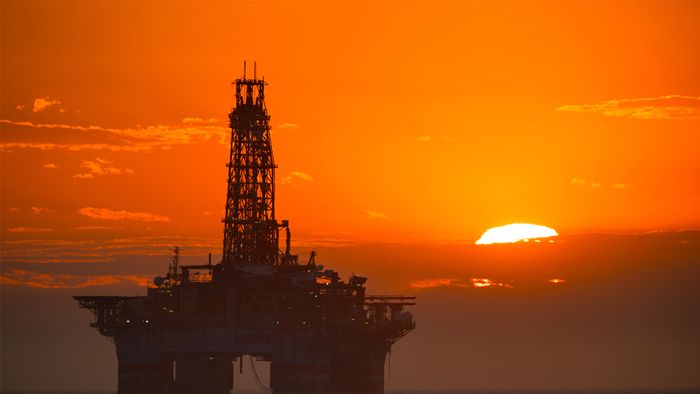
The Deepwater Horizon oil spill of 2010 was the largest oil spill in history, estimated to have pumped more than 200 million gallons of oil into the Gulf of Mexico during a period of more than 85 days. Nearly a decade ago, methods for tracking the flow of an oil spill and determining the extent of its negative impacts neglected processes that proved important during Deepwater Horizon. Lessons learned by researchers as a result of Deepwater Horizon have empowered them to create tools to better facilitate response and mitigation efforts in the event of future spills.
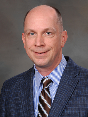
Through a collaborative research effort, Dr. Scott Socolofsky, A.P & Florence Wiley Professor II and the division head for environmental, water resources and coastal engineering in the Zachry Department of Civil Engineering at Texas A&M University, has developed a model that can accurately predict where contaminants from an oil spill will travel, helping response teams such as the U.S. Coast Guard better prepare, plan for and mitigate damage to human and ecological populations.
“We are interested in this model for
In 2000, 10 years before Deepwater Horizon, offshore experiments in Norway tested models predicting the spread of oil well blowouts. As part of that effort, Socolofsky performed laboratory experiments with air bubbles in an attempt to better understand the risks of deep-water drilling. After this time, oil companies started developing in deeper water and interest in studying oil well blowouts faded.
That was, until Deepwater Horizon.

Laying the foundation for the model
After completing his Ph.D. in 2001, Socolofsky turned his focus to gas bubble injection in lakes and reservoirs. This research set the backbone for what would one day become his improved oil blowout model. Oil well blowouts are a mixture of gas and liquid droplets of oil, which travel from the ocean floor through seawater and create a multi-phase
However, making the jump from lake reservoirs to oil blowouts had several challenges. Socolofsky and his colleagues knew that the chemistry of the oil would be important to correctly model the flow of a spill, so the research team would have to determine how the chemistry, density, size of droplets and other factors for both the liquid and gas states of oil would interact with seawater.
Predicting the behavior of oil
In water, density is stratified, meaning that denser water is closer to the bottom of the ocean floor, and less dense water rises to the top. During Deepwater Horizon as gas and liquid oil droplets burst from the ocean floor, the flow of oil became a deep-water plume of gas, oil
“This formation of a deep-water dissolved petroleum plume is important because it can have an impact in industries like fisheries,” Socolofsky said. “These hydrocarbons below the surface may be affecting fish in certain areas, which are exposed to toxic chemicals that impact both human health and the ocean ecology.”
Impacting future spills
The research team joined Socolofksy’s original reservoir model with other collaborator models to determine the chemistry and droplet sizes for the liquid and gas states for oil and gas, creating a model that could predict spill behavior during events such as Deepwater Horizon. After taking extensive measures to validate the accuracy of the model, entities such as the National Oceanic and Atmospheric Administration (NOAA) are now utilizing the model in their capacity to forecast spills.
During an oil spill
“NOAA forecasts where this oil might be to help the coast guard assess what can be done about it,” Socolofsky said. “Their modeling system needed the capability to model what is happening underwater and they teamed with us to use our model."
Socolofsky is now using the model for projects in Alaska and Canada to study the specific conditions and considerations around possible oil spills in the Arctic, which are now more likely to occur due to the increased crude oil shipping in the region.
“I am happy that NOAA can use the model and finds it valuable,” Socolofsky said. “I’m glad we’ve created a tool that NOAA can actually use to forecast oil trajectory if there was another spill, and I’m glad there is the opportunity right now to use this tool as preparation to avoid future spills or have better mitigation and response in the event of a disaster.”
__________________________________________________________________________________
This project is a collaborative effort with researchers at ETH Zurich, the Woods Hole Oceanographic Institution and the New Jersey Institute of Technology. You can read more about the model in this publication about its implementation by the Gulf of Mexico Research Initiative.